Spring Equinox
March 21
First Full Day of Spring
2011
Monday was a Mexican Holiday, Natalicio de Benito Juarez. In commemoration of President Benito Juarez's birthday, March 21 1806.
Bottom-line, no school!
We took advantage of the day and drove north to AltaVista. AltaVista is an archeological site with petroglyphs dating back 2000 years.
The directions seem simple enough now, drive 28 miles north on 200 to the AltaVista turn off on the right. Follow the road for 1 mile, turn left and continue 1/2 mile and park. However, we didn't have directions. So we drove 28 miles north to the AltaVista turn off then drove around aimlessly for quite a while looking for a road sign.
Silly us......what were we thinking.....road sign?
Luckily, we came upon this charro and his horse.
He was kind enough to help us. Together, we used all of our Spanish to piece together his directions and soon we were on the right road.
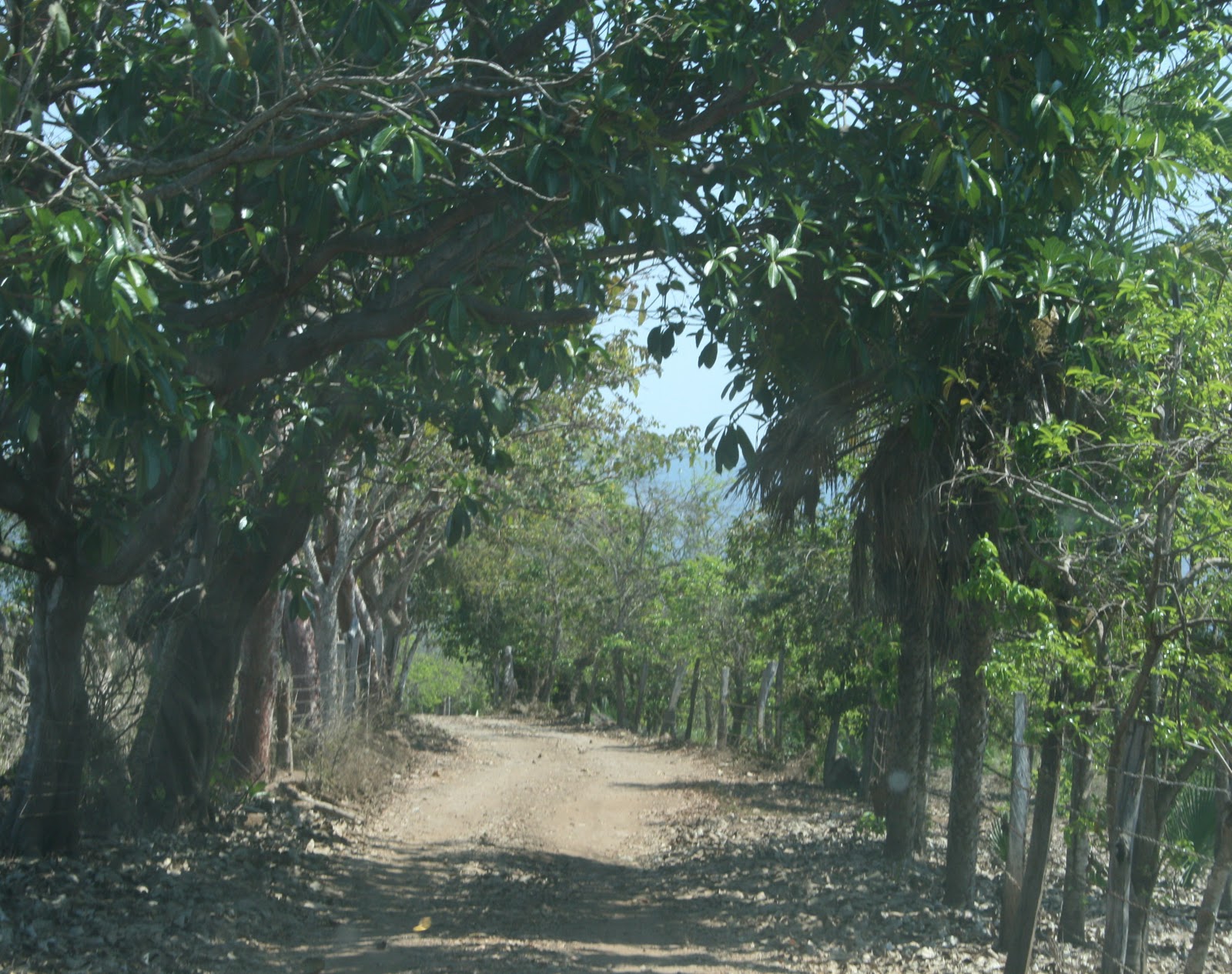
The road was narrow and lines with a barbed wire to fence the cattle. The fields were filled with palms, mango trees and another tree with strange looking fruit (might have been yaka).
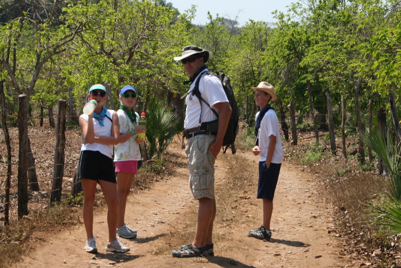
Our hike started on the road. Originally, you could drive to the beginning of the trail but the rains this past fall made the road tricky. The hike to the trailhead took about 20 minutes and there were plenty of things to see along the way.
There was quite a bit of information about the history of the area, which I found interesting. (This section may be a bit boring.....sorry!)
1.Archeological petroglyps site of Altavista known as “La Pila Del Rey” located along the PileTas Creek on the sides of the Copo Volcano. It covers an extension of about 80 hectareas where there is one of the biggest concentration of engraved rocks.
The park is managed by a caretaker who collects $20 pesos per person. Along the trail there is information in both Spanish and English explaining some of the petrogylphs.
The state of Nayarit is characterized by high rainfall, the fifth highest in the country, the rains are concentrated in a period of intense storms between May and October. In dramatic contrast to the dry seasonthe rest of the year. The mountains of Altavista attract heavy rainfall leaving the areas to the east much drier (the opposite side of the mountain has a semi-desert climate). Perhaps for this abundance of water Altavista was seen as a special place and venereated for it’s fertility.
The trail follows a riverbed through the jungle.
8. Warfare: Trophy Heads
The “Flower War” was one of the principal religious practices associated with the Tecoxquines. The goal was not conquest. Rather, the objective was to obtain warrior prisoner for ritual sacrifice, an whose severed heads were later offered to the gods. These wars usually occurred locally. Although they were also held in places as far away as the valleys of Talpa, Mascota and the Mochitiltic canyon, in Jalisco.
Gifts for the gods are left near many of the engraved stones.
5. The Tecuales
In the 17th century, European landowners cultivating cacao in the region needed a new workforce. The old Tecoxquin villages, as far as the salt producing town of Ixtapa, were repopulated with Tecuak Indians who were ancestors of the modern day Huichol. A new wave of Europeans arrived from the town of Compostela and formed Haciendas such as Chila and Las Varas. They also brought in African slaves through the nearby port of Chacala. Which had trade links with North and South America. Each of these new peoples reinterpreted the petroglyphs of Altavista in a distinct manner.
14. Tecoxquin Symbolism
The spirals and wavy lines and other symbols carved in the rocks of Altavista most likely constitute a ritual language of prayers to the Tecoxquin gods. As an agricultural people, the Tecoxquines would have been concerned with obtaining rain, fertility of the earth and the continuance of the seasonal rhythms they depended upon. Although the exact meaning of the symbols will never be known. The spirals have been interpreted as the sun, rainstorm, wind, coiled snakes, or as a symbol of the natural rainy and dry cycle.
3.The Tecoxquines: Religious Life
Many of the religious ceremonies, which occurred at this site, were undoubtedly based on the Nahualism. Nahualism or Shamanism is an ancient religious practice by which certain persons communicate with their gods and spirits through alteredstates of conciousness. This tradition has deep roots in the region. The name of the state of Nayarit derives from the word “Nahualli”. The Tecoxquines used psychotropic plants and tobacco to attain states of extasy that brought them into the contact with their deities.
4.The last of the Tecoxquines
In 1524 an army led by Francisco Cortes de Buenaventura incorporated this zone into the jurisdiction of Santiago of Colima. Six years later, Nuno de Guzman formed the kingdom of Nueva Galicia covering the entire northern and western regions of Mexico. Following the Spanish conquest, death from epidemics and forced labor completely annihilated the Tecoxquines as a people. Today, in the Mestizo towns of the area people still speak of “white indians”, ghosts who appear from the mountains to honor their ancient gods.
10. The Devoted Christ
The first historical references to the Altavista archeological site date from 1612. They describe complex writing, a multitude of crosses, and above all a “Devoted Christ, whom the local people hold in great veneration. This is possibly a reference to the so called “maiz man”. A figure symbolizing fertility and growth. Local farmers leave offerings of candles and gourd bowls of salt to this figure. In order to obtain, fertility for their coffee and tobacco crops, or in hopes of obtaining work when they travel to the United States.

The Huichol Indians who occasionally visit Altavista originally lived in the Sierra of Nayar Mountains, although in recent years a small group has moved to the Las Varas area. They leave offerings and perform ceremonies here for Nakahue, “our grandmother of Fertility” and also for Tatevari “our grandfather Fire”. Some Huichols also travel to the nearby port of Chacala were ancient rock carvings are located and leave offerings to Tatei Aramara, “Our Mother Ocean”.
This concept was a central part of ancient Mesoamerican cosmology. Tamoanchan is the cosmic tree which connects all life and sustains the world. It’s roots are underground, in the realm of the water and fertility. It’s trunk is amoung the humans, above ground and reaches upward. The crown of the tree is in the heavens, in the realm of the gods and the rains. Tamoanchan was represented by the ceiba tree in many parts of Mexico although other large trees such as the pine and the strangler fig could also served the same purpose.
12. The Cross
The fact that the cross was a sacred symbol among the Tecoxquines was somewhat suprising to the Spanish, and led to the legend of the Apostle Matthew. But for the Texcoquines, like most other ancient Mesoamericans, the cross was in reality a mental map of the cosmos. It symbolized the five sacred directions: the four cardinal points and the center. Each direction was associated with certain gods, colors, and sacred realms, as well as one of the four trees which formed the Tamoanchan. The idea of the four-cornered universe is still present among Mexican Indians today and is symbolized by crosses, diamonds and other similar shapes.
This stone cairn is not so anceint, it was built by a young guero on the trail.
Can you guess who?
Eventually, we came to pools formed in the rocks.
It was a great place to rest and cool off.
Fernando took a swim......
Of course, the girls couldn't be left out.......
Soon everyone joined in the fun!
A Mexican family was picnicing on the rocks while we were there. Suddenly, the spirit moved el abuelo and he leapt from his rock and flopped in the water, giggling that he splashed everyone. Then he crept up behind his daughter and pushed her in, both were giggling and having a great time.
It really was a beautiful place. The jungle was so thick that it was cool even though the day was very hot.
Many of our local friends had told us about the special energy at Altavista. So to cover all bases, Rory built a cairn as an offering, in hopes that the healing energy would reach his elbow.
We had a great day and really enjoyed hiking.
We all piled back in our dirty rig and headed home. The Mexican family who swam with us at AltaVista piled back into their rig and headed home too.
Great way to spend a Mexican Holiday!


